This was our 2nd visit to this trail. We had visited this trail a little over 2 years ago. Here is the post from a couple of years ago which was in the winter. https://rangerannette.wordpress.com/2014/02/08/surgoinsville-tn-phipps-bend-trail/
During our 2 visits, we didn’t go to the very end of the trail. I saw on the Tennessee Eastman Hiking and Canoeing Club site that the trail is 3 miles long. I think the furthest that we’ve made it in is about 2 1/2 miles.
You have to go to the Phipps Bend Industrial Park to get to the trailhead. This is an easy hike along a flat gravel road. You’ve got wetlands with waterfowl in areas on your right. You have Holston River on your left. You are probably about a mile and a half into the walk before you get close to Holston River. A highlight of this walk is seeing the ruins of what was to be the Phipps Bend nuclear power plant site. You will see it on your right off in the distance. Looks like they were burning weeds in the area today, so the last part of the trail was a little smoky. Also, we were the only ones on the trail until we were almost back to the trailhead and came upon a couple of people riding their horses.
Here are a few photos from today. The twins were also at the house after we got home, so there are a few of them.
Getting to trailhead: Use the address of 377 Phipps Bend Rd, Surgoinsville, TN. This is the address of Cooper Standard. When you pass this business, there will be a road on the left that doesn’t have a street sign. Drive a very short distance on this road to the parking area / trailhead.

The trailhead

Right past the trailhead, you come across this creek

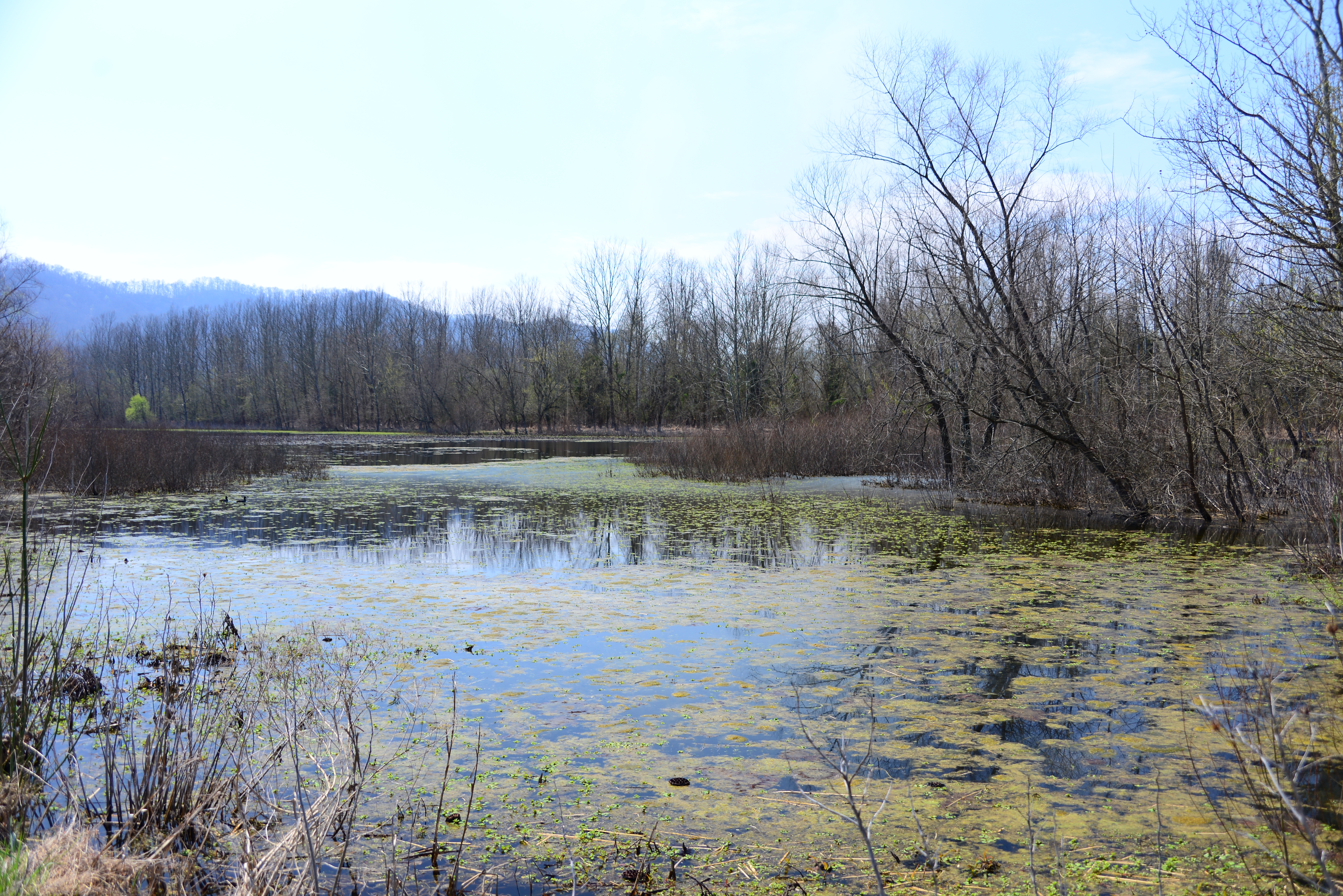
At the first curve, you come across this little wetlands lake

The upper section of the little lake

As you continue on the straight stretch of the trail, you’ll notice the wetlands amongst the trees

Arriving at the 2nd lake. This lake is alot larger.

Waterfowl on the lake
Another view from this side of the lake

Holston River in the distance on the left

When you walk around the curve, you then have this view of the 2nd lake

A very old bridge

The ruins of what was going to be the nuclear power plant, off in the distance. If you look closely, you can see smoke rising in different spots in the photo where they were doing the burn.

Coming upon the transmission towers

You walk under / through the transmission towers

Walking under the transmission tower. The view upwards.

We’re finally close to Holston River

Captured this on the way back to the car

The horseback riders, which were the only other people that we saw on the trail today.

Now we’re home. Sawyer is playing music.

And Eli is clapping away

Eli playing ball

Orka always has to get in on the action

This is how they help Pops folder clothes
